Environmental and Regional Insights
The geography here is a study in contrast: a narrow green corridor of life cutting through vast arid plateaus. For the traveller into Egypt, understanding these climatic zones, seasonal shifts, and natural landmarks is the foundation of every good journey.
A green corridor carved through silence
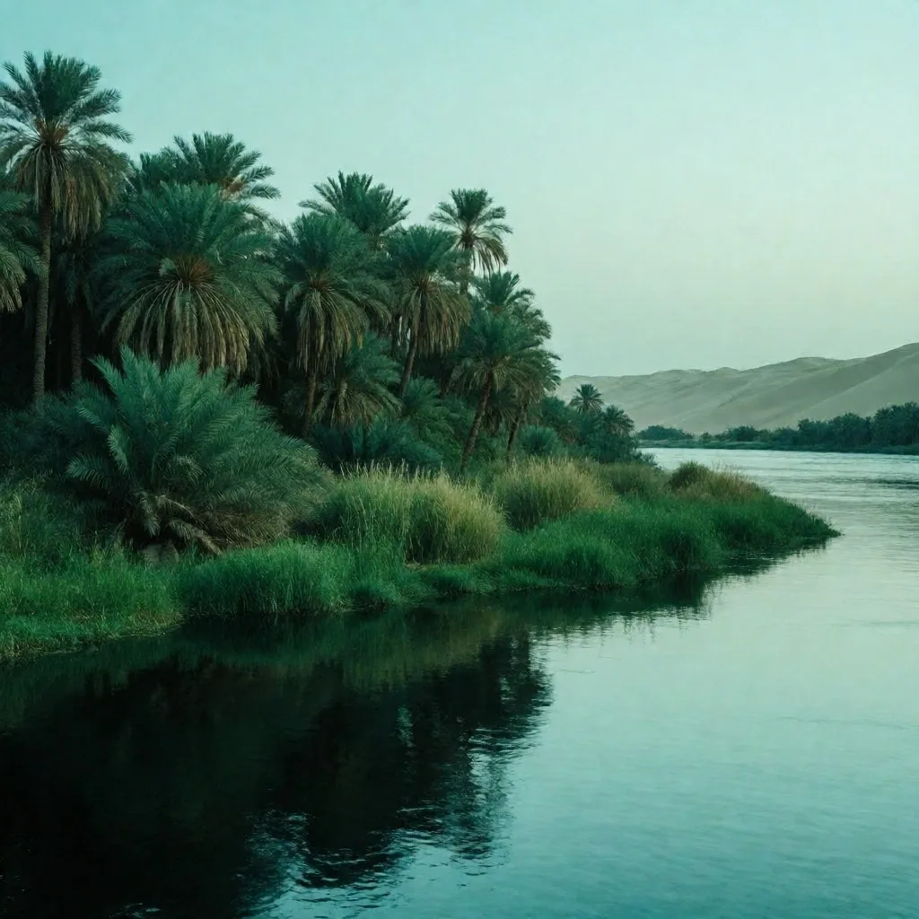
The river is the literal lifeblood of the land, creating a narrow green corridor that cuts through the desert on both sides. This strip of fertile soil, fed by silt deposited over millennia, supports the highest density of plant and animal life in the entire region. A few hundred meters from the water's edge, the lush vegetation gives way to sand — one of the sharpest ecological transitions found anywhere on the planet.
Farming practices along the banks have remained relatively unchanged for generations, following the ancient cycles of the water's rise and fall. Visitors will notice the tall palms lining the irrigation channels, the dense stands of sugarcane, and the variety of birdlife that congregates along the banks — herons, kingfishers, and migratory species that use this corridor as a transit route between continents.
The contrast is immediate and striking. Stand at the edge of a field and look west: the silence of the dunes begins just beyond the last row of trees. Our travel guides describe this boundary as one of the most memorable visual thresholds a traveller into Egypt can experience.
Field Note
The green band rarely exceeds fifteen kilometers in width before the sand takes over entirely.
Two deserts, two entirely different characters
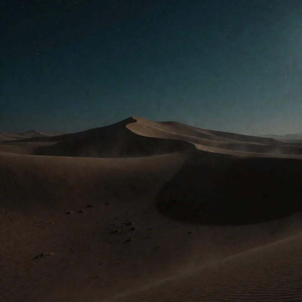
Beyond the green valley lie two distinct desert regions, and they share little beyond their aridity. The Western Desert is a landscape of vast sand seas and isolated oases — flat, open, and defined by the sheer scale of its emptiness. The Eastern Desert is something else entirely: mountainous, rugged, and tilted downward toward the coral-filled coast of the Red Sea.
Both regions require serious preparation to enter. Distances between water sources are enormous, temperatures swing violently between day and night, and the terrain offers no shade and no shelter. Anyone travelling into these areas should carry ample water, a reliable navigation method, and a clear plan for communication in zones with no signal.
For those who do venture in, the reward is an encounter with the raw, untouched beauty of the natural world. The silence is total. The rock formations record millions of years of geological time. These are places that demand respect and reward patience.
Where the land meets the sea
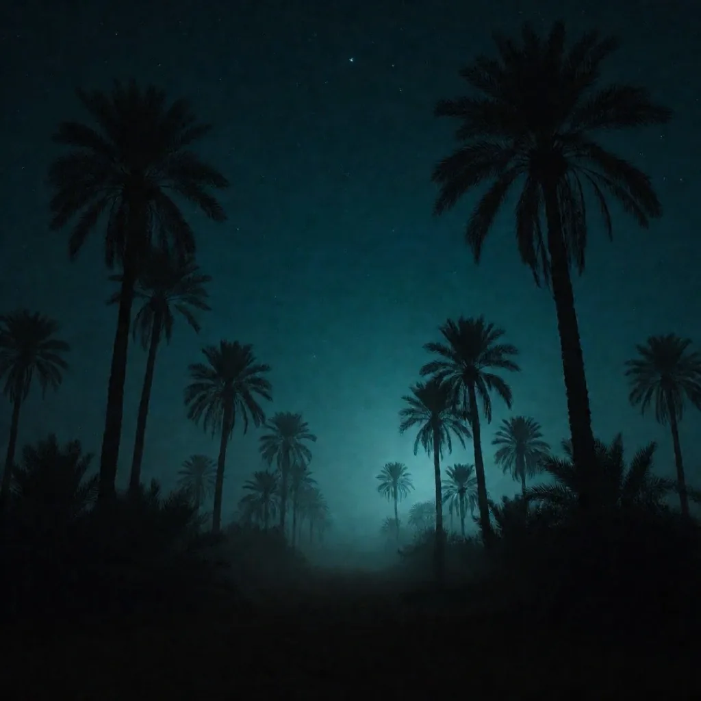
The northern and eastern fringes of the region are defined by their proximity to the sea, and the air changes noticeably the moment you approach the coast.
The Northern Coast
The Mediterranean shore offers a more temperate climate than the interior. Humidity runs higher, and occasional rainfall arrives during the winter months — enough to sustain coastal agriculture that would be impossible a few hundred kilometers south.
Winters are mild and damp. Sea breezes provide a welcome relief from the inland heat, making the northern coast a distinctly different atmospheric experience from the valley or the desert.
The Eastern Coast
The Red Sea shore is characterized by remarkably clear water and extensive coral reef systems. The climate stays warm throughout the year, with minimal rainfall and low humidity compared to the northern coast.
The onshore breeze here is consistent and cooling, driven by the temperature difference between the sea surface and the hot interior landmass. It is one of the most reliable natural air-conditioning systems in the region.
The seasons bring more change than you might expect
While the region is generally associated with heat, the seasons do bring noticeable changes — in temperature, in wind, and in visibility. Understanding these cycles is one of the most practical things our egypt travelling guides can offer: it helps you choose the right time for specific activities and manage your physical comfort on the ground.
The Khamasin Season
Spring brings the Khamasin — a dry, dusty wind from the south and southwest that can last for several days at a stretch. Visibility drops significantly during these events, and fine dust penetrates everything. Travellers with respiratory sensitivities should plan accordingly and carry appropriate protection.
Peak Heat
Summer is the peak of the heat. In the southern parts of the region, daytime temperatures regularly exceed forty degrees Celsius. Direct sun exposure between late morning and late afternoon is intense. Physical activity should shift to the early morning and evening hours, and water intake must increase substantially.
The Air Clears
Autumn brings relief. The Khamasin winds subside, the air clears, and daytime temperatures drop to more manageable levels. Nights begin to cool. This is widely regarded as one of the best windows for outdoor exploration and travel through the interior.
Mild Days, Cold Nights
Winter is the most pleasant time for exploration. Days are mild and comfortable for walking and sightseeing. However, nights — especially in the desert and the southern valley — can become genuinely cold. Layered clothing is essential; a traveler unprepared for the nighttime drop will struggle.
Engineering that reshaped a river's rhythm
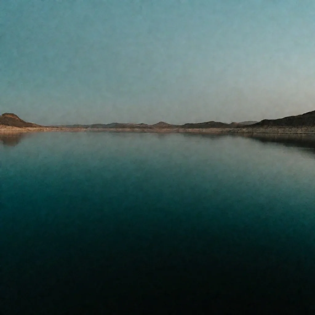
Modern engineering has fundamentally altered the natural cycle of the river. The great dam projects of the twentieth century provided a steady, controlled supply of water and electricity to the nation — ending the ancient pattern of annual floods that once deposited fertile silt across the valley floor.
The management of this single resource is a central concern for the entire region, affecting everything from agriculture to urban planning. The reservoirs created by these projects have also formed entirely new ecosystems — large inland lakes that now support fishing communities and local industry.
What This Means for Travel
The end of the annual flood meant farmers shifted to controlled irrigation — but it also meant the valley soil no longer receives its natural annual replenishment of nutrients. Fertilizer use increased. The relationship between the people and their most vital natural resource remains ongoing and complex.
Key Crops
- — Date palms, grown in dense groves
- — Olives, pressed for oil locally
- — Citrus and apricots in shaded plots
- — Wheat and alfalfa in cooler beds
What to Notice
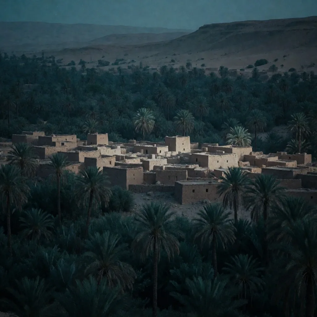
- — Walls built from local mud and stone
- — Thick insulation against daytime heat
- — Narrow streets designed for shade
- — Water channels running through town
Islands of green in the sand
The oases of the Western Desert are geological wonders — places where deep underground aquifers reach the surface through natural fissures in the rock. These water sources sustain small, self-contained communities that have lived in isolation for centuries, developing agricultural and architectural traditions uniquely adapted to their environment.
These locations are famous for their date palms and olives, and for distinctive building styles that use local earth and stone to battle the extreme heat. Walls are thick, streets are narrow for shade, and every structure is oriented to minimize sun exposure during the harshest hours.
For a traveller into Egypt, visiting an oasis provides a glimpse into a way of life that is deeply connected to the earth and the hidden waters beneath it. These settlements served as essential rest stops along the ancient trade routes that still crisscross the sand — routes that shaped the movement of goods and people for thousands of years.
A bedrock record written in ochre and cream
The bedrock of the region is a treasure trove of geological history. From the granite quarries of the south to the limestone cliffs of the north, these materials have been used for millennia to construct the monuments and dwellings that define the visual landscape.
The colors of the stone shift with the light of the day, moving from deep ochre in the early morning to pale cream under the midday sun, and back to warm amber as evening approaches. Observing the natural formations — such as the white chalk towers that rise from certain desert areas — reveals the transformative power of wind and water erosion working over millions of years.
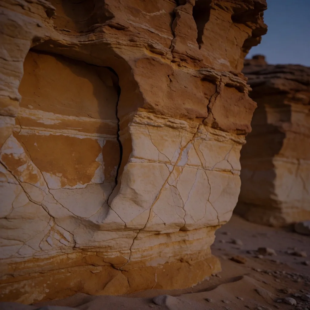
Northern Cliffs
Soft limestone, easily cut and shaped — the building material of choice for the northern monuments and temples.
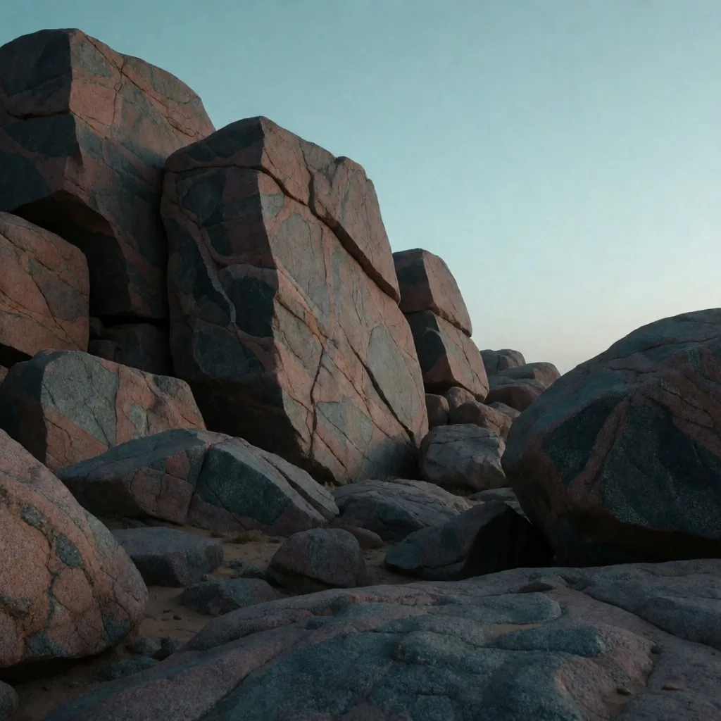
Southern Quarries
Hard pink and grey granite — prized for obelisks and columns, transported hundreds of kilometers along the river.
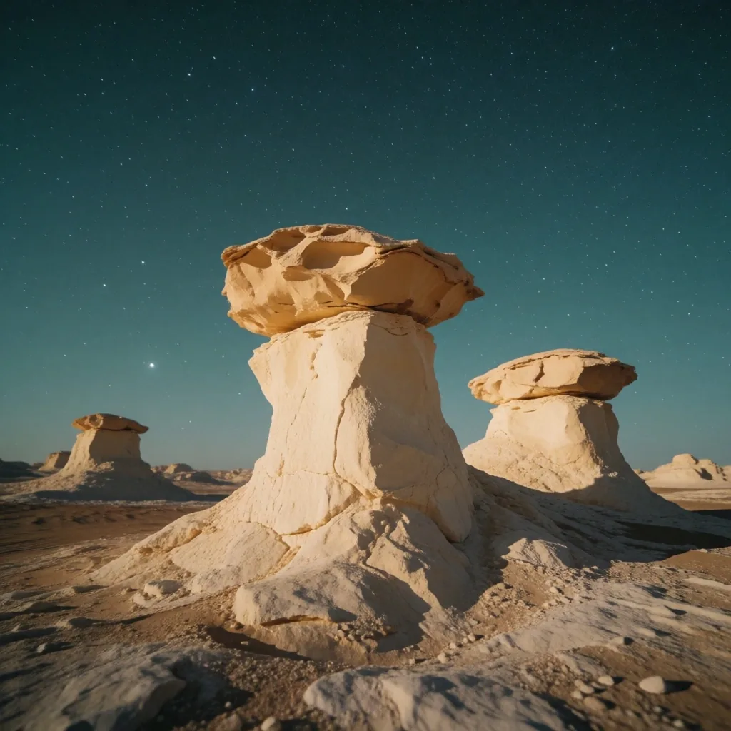
Desert Chalk Towers
White chalk spires sculpted by wind erosion over millennia — some of the most surreal landforms in the region.
Protecting what survives in the harshest conditions
Efforts to protect the unique wildlife of the region have led to the establishment of several protected areas. These zones safeguard species such as the ibex, the fennec fox, and numerous migratory birds that use the river valley as a transit point between continents — a critical stopover on one of the world's great flyways.
Conservation is a genuine challenge in a climate this harsh. The margin between survival and collapse is thin for many species, and human encroachment on limited habitat puts additional pressure on fragile populations. Maintaining the ecological balance requires sustained effort and careful management of land use.
We encourage everyone who uses our egypt travelling guides to respect these boundaries. Stay on marked paths, keep distance from wildlife, and avoid disturbing nesting or resting sites. The natural heritage preserved in these areas is irreplaceable — once lost, it does not return.
Protected Species of the Region
-
A
Nubian Ibex
Mountainous eastern desert, rugged cliffs
-
B
Fennec Fox
Sandy desert, nocturnal, digs deep burrows
-
C
Migratory Birds
River valley corridor, autumn and spring transit
-
D
Coral Reefs
Eastern coast, shallow clear waters
-
E
Desert Monitor
Wadis and rocky plains, active at dawn
Continue Your Journey
Prepare for the conditions you now understand
The regional climate shapes what you carry and how you move through it. Our travel guides continue with practical preparation and safety guidance for the terrain ahead.
Egyptian Travel Insights
A non-commercial information portal for travellers seeking to understand the natural and environmental context of the region.
Location
1 gad el hak street
Sheraton Heliopolis
Cairo Governorate, Egypt
Contact
+201030303793
[email protected]
Mon — Fri, 09:00 — 18:00